How to Integrate Satellite Data Using API

There are numerous constellations of different satellites orbiting the Earth. They offer various services, including communication, Earth remote sensing, weather observation, global positioning system, and navigation.
And those who want to benefit from this invaluable data are looking for APIs to complete their tasks in different industries worldwide.
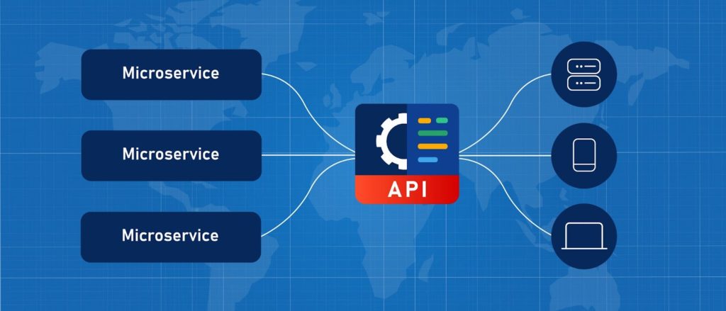
The satellite application programming interface, or API, allows developers to connect to and interact with data using specific software. Modern advances in APIs have already facilitated the integration of geospatial data and analytics, no matter the language or format. Technically, an API is an intermediary that lets two applications “communicate”.
In practice, APIs enable integration of data and its automatic analytics from another source into an existing app with the purpose of satisfying the users’ need for the necessary information or feature that was lacking.
There are a variety of satellite data APIs on the market, each providing various possibilities for different applications in the field of agricultural monitoring, insurance, weather changes tracking, and much more.
In this piece we will uncover what satellite API’s are and what they can offer for software developers whose product requires space data integration.
Satellite API Concept
A satellite API is a service that enables programmers to integrate satellite data into their software apps. It could be data for processes monitoring, weather data, historical data, and other valuable insights.
For example, satellite API is of great service to developers who create apps and websites for different industries related to agriculture, atmospheric conditions, astronome, environmental monitoring, etc.
Among the industries that can also benefit from satellite APIs are weather forecasting businesses, governments, education, oceanography, travel, and sports.
The main value of API for developers lies in reduced coding time and effort when creating the app. With hundreds of satellites of different types and from various countries, it is usually way more convenient to integrate data via API than to write, test, and debug the entire code from scratch.
And having all the necessary data and features is essential to any software project that aims to succeed and gain competitive advantage. In fact, satellite APIs allow for expanding the software’s capability in the easiest way possible by providing advanced algorithms that deliver fast results.
Most Popular APIs Using Satellite Data
Among the variety of different API that leverage satellite data, we will cover the most popular ones.
Agricultural API
Satellite API’s are of particular importance in different kinds of farming software thanks to giving invaluable insights on the crop state, weather conditions, and much more. An example of such an API is offered by EOS Data Analytics company. EOSDA has its own farm management software called Crop Monitoring that works based on satellite imagery analytics. As for the API, the company offers detailed API documentation to enable developers integrate the following features into their product:
- Field Satellite Imagery (including vegetation indices data)
- Scene Search for linking the location of a field to the available satellite image
- Historical Field Trends for getting historical data on crop health, temperature, precipitation, soil moisture, and more
- Soil Moisture for accessing soil moisture data since 2015
- Crop Classification for advanced crops mapping and inventory on multiple fields simultaneously
- Zoning for higher precision when planning field activities (based on the needs of each field area)
- Weather for accessing both historical and current weather data
- Point Value for accessing crop development data in a particular point based on vegetation indices analytics.
- Elevation And Slope Map for accessing data on elevation in a particular point and data on elevation differences on a particular field
- Colorization for customizing colors for the available indices visualized on the map.
Weather API
Weather APIs enable connection to large weather databases that include both forecast and historical weather data. Thanks to this information availability through an app, users can have hour-by-hour forecasts, receive weather alerts, and get timely and relevant weather data for any area of interest.
Insurance data API
Insurers usually collect vast volumes of data to analyze it for getting valuable insights. However, given the rising demand for innovation for digital transformation in the insurance sector, this information can be utilized for the creation of a much better digital experience for policyholders and can help increase customer satisfaction.
Depending on the demand, the data retrieved through API can include weather data, foreign exchange rates data, or satellite imagery.